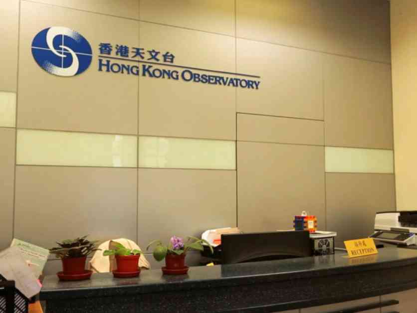
The Hong Kong Observatory (HKO) issued a Standby Signal Number 1 early on Friday as Severe Tropical Storm Trami approached the region. The signal is expected to remain in force until at least midday, with Trami moving across the central and northern parts of the South China Sea.
Despite Trami being forecast to stay more than 600 kilometers away from Hong Kong in the morning, its strong winds have not yet impacted the Pearl River Estuary area. The Observatory cautioned that the combined effect of Trami and the northeast monsoon could bring occasionally strong winds offshore and on high ground.
However, due to prevailing northerly winds over Hong Kong, the overall wind strength in the city is not expected to significantly increase in the morning. Hong Kong is likely to be sheltered from the worst of Trami’s impact. The Observatory mentioned that the decision to issue Strong Wind Signal No. 3 would depend on the distance between Trami and Hong Kong, as well as any changes in local wind conditions.
Trami is projected to gradually move towards Hainan Island, with local winds expected to weaken by Sunday. The Observatory will continue to closely monitor Trami and assess whether it is necessary to maintain the standby signal.
Residents in low-lying areas or those exposed to strong winds are advised to take necessary precautions. The public is urged to avoid water sports, and fishing vessels in the open sea are recommended to seek shelter until the storm passes.
As of now, Hong Kong remains relatively safe from the direct impact of Typhoon Trami, but it is essential for residents to stay informed and prepared for any changes in the weather conditions. Stay tuned to updates from the Hong Kong Observatory for the latest information on Typhoon Trami and its potential effects on the region.


